Thursday, May 27, 2010

Wrapping it up with a 4-mile hike...

The Secret Mountain area is famed for its steep canyons. Boynton and Fay Canyons are two that are accessible--if you like a four-mile hike. I can't feel my legs.


Unfortunately, Sedona has the best government money can buy, so a huge development was built in the mouth of Boynton. The trail goes around it, and you get a good look at a lot of houses in Nuevo Navajo architecture, built by people with plenty of money and guilt who want you to know they are so green they'll live in a giant house inspired by a hogan. Don't say I didn't warn you.
After a mile or so you get past the houses. Then, to get pictures, you have to climb above the treetops. No problem; as I say, I can't feel my legs anyway.

The canyon walls rise on both sides, slowly closing in as I near the end of the canyon.

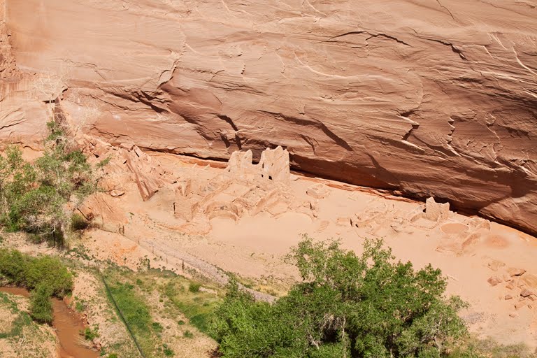
I climbed well up the wall to get this shot of the canyon's end.
It's easier with the helicopter. When I get home, I have a nice video clip I need to edit showing what it's like to fly through the canyons.


Wednesday, May 26, 2010

Oh, and did I forget to mention...?


,,,that today was the day for my Red Baron impression? It was a great day for flying around Sedona, so I did a helicopter tour of the entire perimeter of the huge valley.

I shot thirty clips of video, which I'll edit when I have time at home. Video catches the experience better than stills, but these will do for now.

We flew near some ancient Indian dwellings, several hundred years old, preserved in the shadows of that dark ledge in the center. The Indians chose safe, defensible sites like that one; they could see any threat approaching from their high vantage point.

Then we flew up and down several of the immense canyons on the northwestern side of town. Fay, Boynton and other canyons are favorite venues for the hikers.

Wherever we flew, the scenery was awesome in scale and breathtaking in its rich color.

Oh--and I mustn't forget sunset last evening, when I photographed Cathedral Rocks from a little place where the water catches the reflection. For scale, my guardian angels thoughtfully provided a photographer and his model in the center of the picture--who blessedly stood still in most of my HDR sets. Nice props to show how big the scene really is...

Tuesday, May 25, 2010

All things come to him who waits...


Even good weather! The airport is on top of a mountain between Route 179 (seen here as it passes the Chapel--it's on the right side of the nearest mountain-- and Bell Rock) and Route 89 behind me to the North. This took a hike of a mile or so around the side of the airport mountain with the planes landing over me, but it is a heckuva view and worth every agonized step!

Cathedral Rock (below) has o be the most photographed piece of stone in the valley. You see it from everywhere, and it is nicely photogenic. This is the morning side, seen from Back of Beyond.


Then there is the graceful Bell rock, seen below in the distance from the Chapel. It's the little cone in the distance..

But, of course, when you are standing on its flanks, it doesn't look as small!! There are great views from up here--I'm going to try it again at sunset if the parking lot isn't too full!

Monday, May 24, 2010

Refuge at last in Sedona...

I heard as I drove over here from Chinle on I-40 between Winslow and Flagstaff that this section of the major superhighway across Arizona was closed yesterday due to the dangerous winds. Good thing I wasn't coming over here--I wouldn't have made it.

Needless to say, it was better this morning. I arrived mid-morning and went up on the overlook by the airport (above) looking over the part of town where I'm staying and the surrounding hills. Nice. After yesterday, comforting.

Then, back to the spectacular Chapel, this time with a tack-sharp lens. Oh, joy!


The chapel reminded me that I heard Glenn Beck say this morning that once God is dead, people with troubles turn to the only remaining god--government, which is only too happy to have them as wards of the state. Funny--that idea doesn't seem to be working out too well in Europe.

Nouriel Roubini said yesterday that if one thing goes wrong, Europe's economy will go down in a heap. I think I'll stop listening to the news and take pictures. These two are from up on the platform on either side of the chapel. The first is toward Bell rock in the distance and the second toward cathedral Rocks.

Sunday, May 23, 2010

They said it couldn't get worse--but it did...


Ah, lovely Canyon de Chelly! As I write this, the wind is ripping the leaves and bark off the trees outside my hotel window and blowing them to China.

Fortunately, I got to photograph Tsegi Point near the park entrance this morning (the image above) before the winds reached hurricane force.

Then, as things became dire around 10:00 A.M. , I raced over to Antelope House (named for a painting of an antelope on the wall). It is obvious why the Anasazi tucked their homes under the cliffs--this place has brutal heat in Summer, bone-cracking cold in Winter, and these dust typhoons in Spring. In this first shot, you can see the dust beginning to rise into the formerly-blue sky)


A couple of truckloads of tourists were visiting Antelope House, so I included them for scale. Everybody in the hotel looks windblown and bedraggled--probably from riding in those trucks. You can drive your own car up here on the rim roads, but to drive in the canyons and visit the ruins, the Navajos have the only permits.


I'm outta here early tomorrow for Sedona. Think of it as panic-stricken flight...

Saturday, May 22, 2010

A dust storm with 55 mph winds...


It's a good thing I worked so hard yesterday and this morning, because by 2:00 P.M. today the sky was filled with blown sand, the sky turned dust-colored, and the scenic sites began to fade out in a haze of blowing sand. It got worse with each hour, and I had to retreat to the hotel. If one turned into the wind as I did for these, one got a mouth full of sand and eyes that needed a cleaning. Arrrgh. Supposed to be windy tomorrow as well. Sigh.

You can see by the video hy there are only scrubby bushes here--tall trees wouldn't last long up here atop the mesa where the wind howls.

Working before the big dust storm hit


The picture above is of the massive Navajo Fortress formation, a defensible piece of high ground that didn't work against the Spaniards. Where I am standing is called Massacre Cave, where the spaniards found much of a village and killed them.


The Mummy house is fascinating. Seen here from the overlook and then by telephoto. it is reputed to have been occupied for a thousand years--about twice the time Europeans have been settled in America. Can't help wondering who will be on the overlook taking pictures of the Los Angeles ruin.


One of the most famous sites is the White House ruin, seen first from the overlook and then closer by means of a telephoto lens. You can walk down to this one. I didn't--it's a three hour hike, all uphill...

Friday, May 21, 2010

Meteor Crater and Canyon de Chelly


The long day began at 2:45 A.M. and hasn't ended yet. On the way over here to Canyon de Chelly, I stopped at Meteor Crater, near Winslow, Arizona. Meteor Crater is the result of a 300,000 ton meteor colliding with Earth at 20,000 miles per hour. It's a wonderful story, and I'll have much more when I get home and do a gallery on it.

In both places, I was nearly blown over high cliffs by 40 mph winds. Unbelievably difficult to take pictures in both places.

As a matter of fact. in Canyon de Chelly. first my tripod and then I almost took the Big Swan dive off a 700-foot cliff.

At Canyon de Chelly, I spend some time with the Godzilla of stone formations. The tallest is 800 feet tall, and the spider Woman lives on top of the left-hand column; she even keeps a cupcake of bones (that's that white pouf up there) up there with her.

Time to get some desperately needed food and sleep.

Yes, I'll crop that vignetting out of the corners--I'm just too tired now.